Description
Discover the northeast of Singapore in this 12km trail that takes you across the enchanting Coney Island and picturesque Lorong Halus Wetland!
Distance
12 km
Starting Point
Punggol Waterway Point
Difficulty
6/10
Ending Point
Punggol Waterway Point
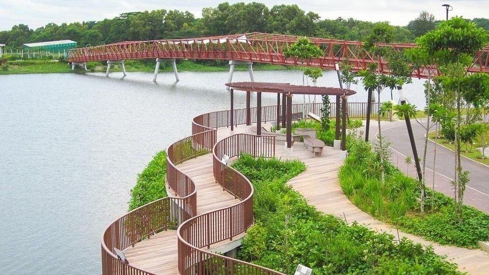
This North-East adventure hike takes one through some of the most scenic attractions that Punggol has to offer. From the expansive Punggol Waterway Park to the instagram-worthy Lorong Halus Red Bridge, this hike is a must-do for local explorers!
Punggol Waterway Park is a 12 hectares riverine park that aims to transform the area into a vibrant waterway town. There are four different themes—Nature Cove, Recreation Zone, Heritage Zone and Green Gallery—designed to cater to different users. The park is also part of the Eastern Riverine Loop and the Coast-to-Coast Trail.
Lorong Halus is a former garbage landfill that covered an area of over 100 football fields. Lorong Halus was soon shut down in 1999 with the opening of the new landfill in Pulau Semakau. Today, a part of the landfill is converted into a coastal wetland and opened to the public for conservation and educational purposes.
The Hike
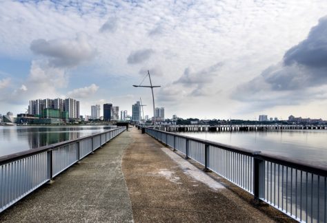
From Punggol Waterway Point, hike along Punggol Waterway Park to Kelong Bridge. Hike up to Punggol Road and make your way to Punggol Point Park. Take a quick break and enjoy a panoramic views of Johor.
Hike along Punggol Promenade Nature Walk and enter Coney Island via the west entrance. Exit via the east entrance and cross the Serangoon Dam to Lorong Halus Wetland.
From there, cross the iconic Lorong Halus Red Bridge and walk along Punggol Waterway Park back to the starting point, Waterway Point.


