Coast-to-Coast Trail

You are currently viewing Coast-to-Coast Trail
Category

Description

Experience the sights and sounds of Singapore in this 36km trail that takes you from Jurong Lake Gardens in the west to Coney Island Park in the northeast!

Distance

36km

Starting Point

Lakeside MRT

Difficulty

7/10

Ending Point

Coney Island/ Rower's Bay Park

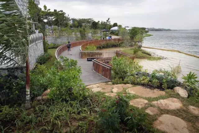
The Coast-to-Coast Trail is a 36 km trail that spans across Singapore. Stretching from Jurong Lake Gardens in the West to Coney Island Park in the Northeast, the hike takes hikers through a variety of parks, park connectors, nature areas, places of interest and urban spaces. These include Bishan-Ang Mo Kio Park in central Singapore, and Sengkang Riverside Park, in the northeast of our island.

The Coast-to-Coast trail is currently the longest trail by NParks, with the 150km long Round Island Route (RIR) expected to be completed by 2025.

For those looking for an interactive walking experience, download the Coast-to-Coast mobile app (available in Android and Apple). The mobile app features an integrated map to navigate you through all 10 checkpoints. Augmented Reality-enabled animals are located at all 10 checkpoints to share with you more about Singapore’s flora and fauna. Points (“flowers”) in the app can be accumlated to qualify you for special events where you can earn bigger and attractive gifts.

The Hike

Starting from Jurong Lake Gardens, hike along the route to Coney Island before making your way to Rower’s Bay Park. There are a total of 10 checkpoints markers located along the route. Login to share your Coast-to-Coast experience and earn points!

  1. Jurong Lake Gardens
  2. Bukit Batok Nature Park
  3. Hindhede Drive
  4. Adam Road
  5. Bishan-Ang Mo Kio Park
  6. Luxus Hills Park
  7. Sengkang FLoating Wetland
  8. Punggol Waterway Park
  9. Coney Island Park
  10. Lower Seletar Reservoir Park (Rower’s Bay)

You may end your hike at the 9th checkpoint, Coney Island and enjoy the rest of the day at The Punggol Settlement.

For those looking to complete the hike in two days, you may split the hike with MacRitchie Reservoir as the midway point.

You may be interested in: The Ultimate Guide to Coast-to-Coast Trail

Note: 

  • Refer to NParks’s official Coast-to-Coast guide for the exact route. Alternatively, download the Coast-to-Coast mobile application for GPS navigation.
  • Be well hydrated and bring sufficient snacks for the hike. Dining spots are located along the hiking route.
  • Public buses are available at Punggol Settlement and Rower’s Bay Park to Punggol MRT and Khatib MRT station respectively.

Route

Want to know the latest outdoor, sports and fitness events and promotions in Singapore?

Share Listing

Leave a Reply