From Choa Chu Kang MRT, head to Choa Chu Kang Park and walk along Choa Chu Kang Drive to Pang Sua Park Connector. There are several parks along the way including Choa Chu Kang Park, Limbang Park and Stagmont Park. Have a break at Yew Tee MRT as it is the last resting point with shops and restrooms. From there, proceed to Pang Sua Park Connector.
Pang Sua, translates to “weighing sand” in Hokkien dialect. In the 1900s, trucks transporting excessive sand were directed here to be weighed, hence the name “Pang Sua”.
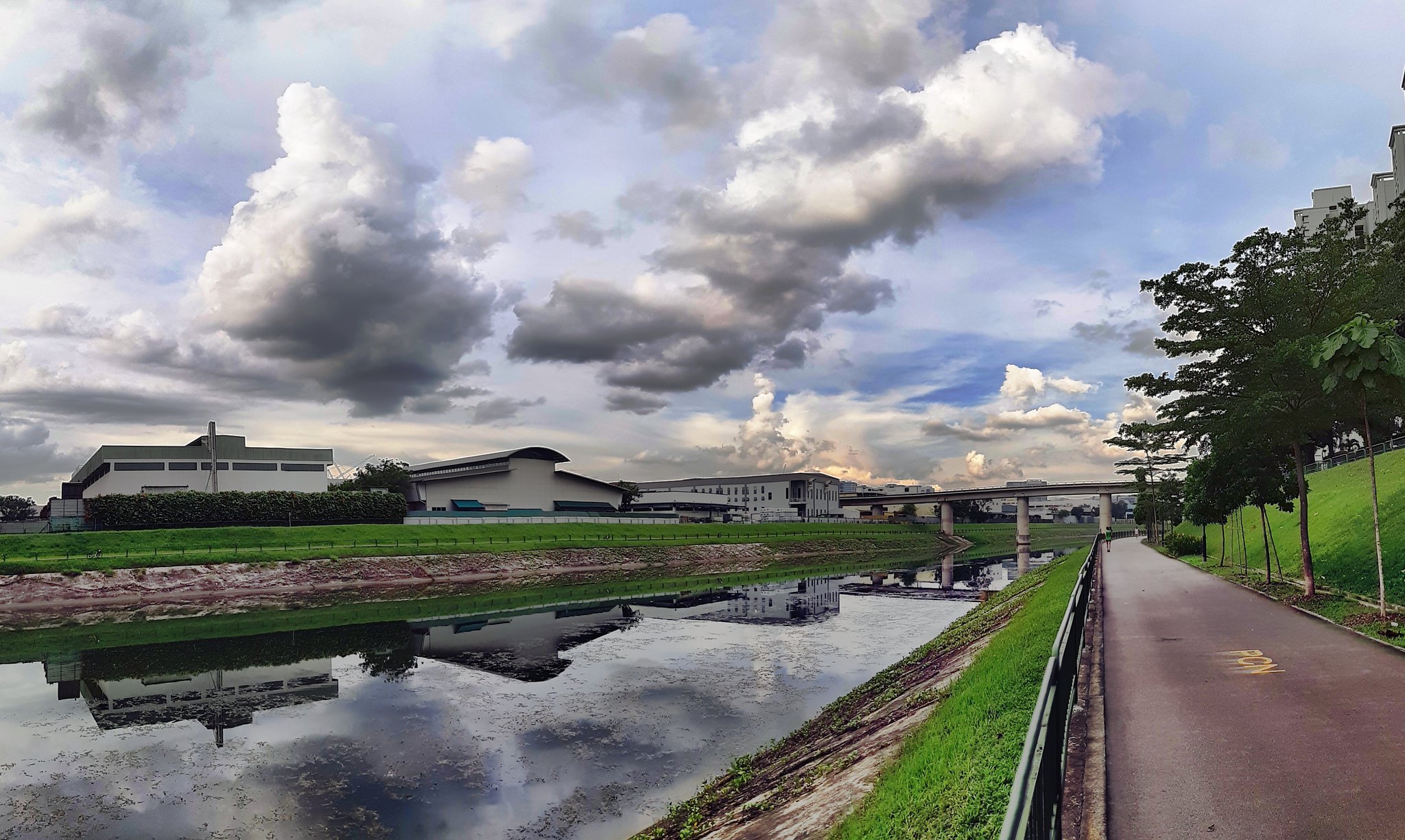
The Pang Sua Park Connector runs along the Pang Sua Canel and joins Bukit Panjang Park along the way. It is also part of the 20km long Western Adventure Loop that links up various park connectors, parks and nature reserves in the Western region of Singapore.
For those looking to hike along the trails of the former KTM Railway, turn left at Choa Chu Kang Link and follow the Rail Corridor trail as specified in the map. Exit at Woodlands Road and turn right towards Bukit Panjang MRT. Note that train tracks in the area have all been removed and is currently regulated as state land.
End your journey at Bukit Panjang MRT and enjoy a sumptous meal at Bukit Panjang Plaza or Hillion Mall!