7 Steepest Slopes in Singapore to Get You in Shape for Mount Everest

  • Reading time:7 mins read
You are currently viewing 7 Steepest Slopes in Singapore to Get You in Shape for Mount Everest

Warm up your quads and take on some of the steepest slope in Singapore! 

Training for MountEverest? Or just looking to shake off some calories? From the oldest nature reserve in Singapore to the former race circuit of Singapore first ever Grand Prix, here are seven of the steepest slopes in Singapore to get you in shape!

1. Bukit Timah Hill

Steep slope in bukit timah nature reserve
Slope along Bukit Timah Hill towards summit | Image credits: littledayout

Distance

1.2km

Uphill

105m

Established in 1883, Bukit Timah Nature Reserve is Singapore’s oldest forest reserve and the home of over 40% of the nation’s local flora and fauna. Nestled within the reserve is Singapore’s highest natural point, the 163-metre tall Bukit Timah Hill.

The steep uphills, intersecting trail paths and proximity to other parks make it a popular weekend hiking spot for Singaporeans. Most hikers take the concrete paved road that leads straight to the summit while the experienced and the adventurous opt for the meandering trail paths scattered across the nature reserve. All paths have shelters and maps detailing your exact location so don’t worry about getting lost!

For those looking for a little more distance and adventure, hike through Rifle Range Road to Macritchie Reservoir, Singapore’s largest reservoir. 

Recommended Starting Point:

Bukit Timah Nature Reserve Visitor Centre

2. Lor Sesuai (Bukit Batok Nature Park)

Lorong Sesuai at Bukit Batok nature park
Slope along Lor Sesuai | Image credits: Google Maps

Distance

400m

Uphill

48m

Located a 15-minute walk away from Bukit Timah Nature Reserve is Bukit Batok Nature Park.

Once the site of the Poh Kim Quarry, it was one of the several granite quarry sites that supported Singapore’s construction projects during the early independence of the country. It was later abandoned and developed into a park by NParks in 1988.

Located at the top of park is the Lorong Sesuai site, a Japanese memorial site that once housed Syonan Chureito.

Lor Sesuai also served as the back entrance to Bukit Batok Nature Park. The steep slopes and wide roads make Lor Sesuai a popular training ground for hardcore hikers and cyclists!

Recommended Starting Point:

Bukit Batok WWII Memorial (Carpark) or Bukit Batok Nature Park Carpark

Read more: Bukit Batok Nature Park w/ WW2 Memorial & Abandoned Quarry

3. Old Upper Thomson Road

Steep slope at old thomson road
Slope along Old Upper Thomson Road | Image credits: Google Maps

Distance

2.5 km

Uphill

40m

While it may be the longest of the seven recommended routes, its history as a former racing circuit for the popular Singapore Grand Prix make it one of the most exciting.

First held in 1961, the Singapore Grand Prix featured the Thomson Road Circuit, a 3-mile long route that featured an array of challenging bends including the “Snakes”, “Circus Hairpin” and the “Devil’s Bend”. The race was discontinued in 1974, citing safety concerns. The Singapore Grand Prix was revived in 2008 at Marina Bay with Formula One’s first ever night-time race.

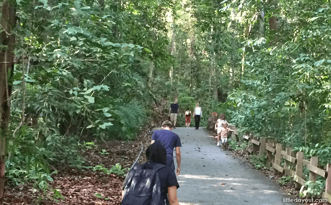
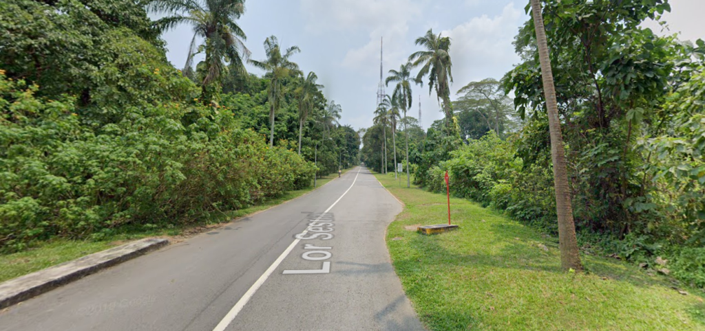
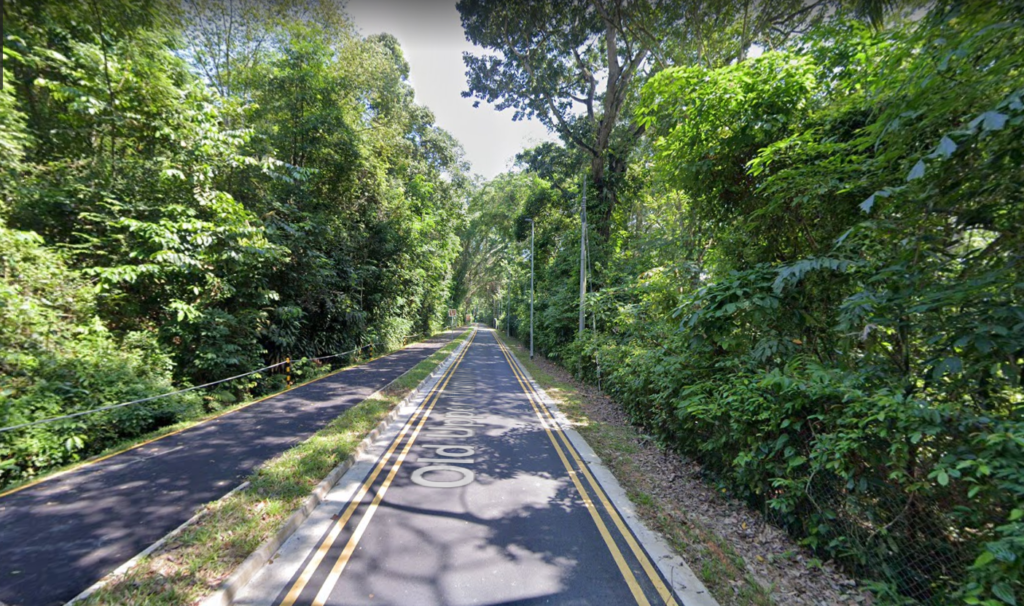
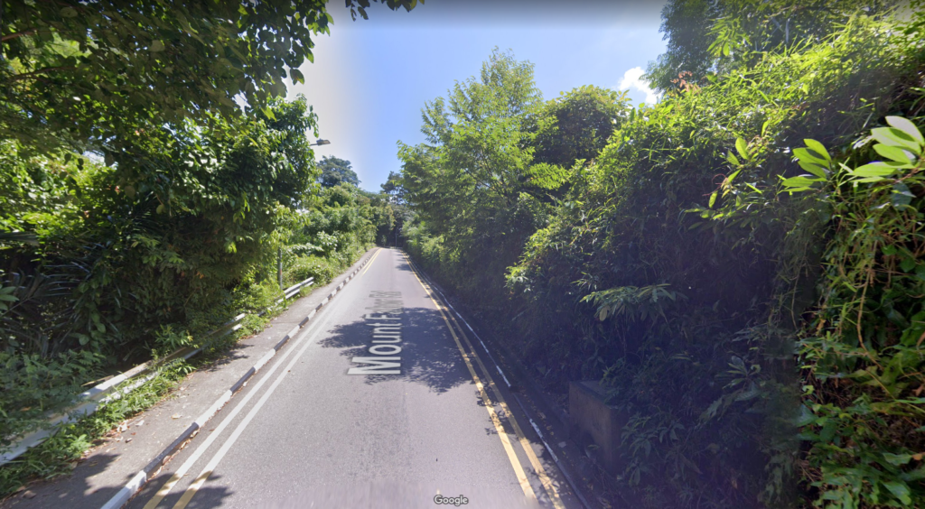
For a complete experience of the race circuit, start from”Before Adana @ Thomson” Bus Stop or Lower Pierce Reservoir Carpark. For a shorter hike, start from Casuarina Carpark where the shophouses are located. Head left to visit Lower Pierce Reservoir Park and right to Upper Pierce Reservoir Park.

Once there, drop by Thomson Nature Park, the site of a former Hainan Village. It is one of the few conservation parks where the endangered Raffles’ Banded Langur can be found. As of 2021, researchers estimate that there are only 67 Raffles banded languars left in the forests of Singapore. 

Recommended Starting Point:

Before Adana @ Thomson” Bus Stop, Lower Pierce Reservoir Carpark or Casuarina Carpark

4. Mount Faber Road (Mount Faber Park)

Mount Faber Road leading to Mount Faber point
Slope along Mount Faber Road | Image credits: Google Maps

Distance

1.2km

Uphill

64m

Originially named Telok Blangal Hill, Mount Faber Park is Singapore’s second highest natural point (after Bukit Timah Hill). Located near the top is Mount Faber Station, the terminal station for Singapore Cable Car. For the best sunset viewing spot, head to Faber Point for an unobstructed, panoramic  view of the southern part of Singapore.

Be sure to check out the 3m-tall baby Merlion; one of the 7 official Merlions in Singapore.

It is recommended to start from Mount Faber Carpark A or B and hike up mount Faber road to Faber Point. Alternatively you may hike one round Mount Faber Hill via Mount Faber loop and mount Faber Road.

You may be interested in: The Ultimate Guide to the Southern Ridges

Mount Faber Park is part of the Southern Ridges and is connected to several other parks in the region including HortPark, Kent Ridge Park and Labrador Nature Reserve.

Recommended Starting Point:

Mount Faber Carpark A or Mount Faber Carpark B

5.Vigilante Drive (Kent Ridge Park)

steep slope at Vigilante Drive
Slope along Vigilante Drive | Image credits: Google Maps

Distance

650m

Uphill

35m

Nested between Bouna Vista and West Coast is the historical Kent Ridge Park. This is the site of a fierce battle in the 1942 Battle of Bukit Panjang where 1,400 brave soldiers of the Malay Regiment resisted the advancement of 13,000 Japanese soldiers at Bukit Chandu (“Opium Hill” in Malay), one of the hills located within Kent Ridge Park. A commemoration plaque is erected at the main carpark while the “Reflections Bukit Chandu” museum can be found at the end of the Canopy Walk at Pepys Road

A highlight of Kent Ridge Park is the 280-metre long Canopy Walk that offers a panoramic views of the park. The park is also linked to Mount Faber and Telok Blangah Hill Parks via a series of bridges and path called the Southern Ridges.

To take on the Vigilante Drive slopes, we suggest you to start from Kent Ridge MRT. Walk along Science Park Drive to reach the Kent Ridge Main Carpark (top of slope) or take South Bouna Vista Road to reach Vigilante Drive (bottom of slope).

Recommended Starting Point:

Kent Ridge Park Main Carpark or Kent Ridge MRT

6. Pepys Road (Kent Ridge Park)

Steep slope at pepys road
Slope along Pepys Road | Image credits: Google Maps

Distance

750m

Uphill

40m

Also located within Kent Ridge Park, Pepys Road is a long meandering uphill road that leads to “Reflections Bukit Chandu” museum. The museum is housed in a restored colonial bungalow that was once a store for military and food supplies for British soldiers in the vicinity. Today, it is home to various WW2 artefacts and offers a glimpse into the 1942 Battle of Pasir Panjang.

Pepys Road connects to Kent Ridge Park Main Carpark and Vigilante Drive via the Canopy Walk.

Recommended Starting Point:

Pasir Panjang MRT

7. Jurong Hill

Steep slope at jurong hill
Slope leading to top of Jurong Hill | Image credits: Google Maps

Distance

770m

Uphill

45m

Located just a stone throw away from Jurong Bird Park is the 64-metre high Jurong Hill, the highest natural point in Jurong. Open in 1970, the hill features a 3-storey spiral tower and offers a vantage point of the surrounding industrial estates including Jurong Port and Jurong Island. Its remote location and panoramic views make it a popular spot for wedding photos during the 1970s and 1980s.

The hill is also famous for the “Garden of Fame”, a small garden featuring trees planted by foreign dignitaries including Deng Xiaoping and Queen Elizabeth II.

Recommended Starting Point:

Jurong Bird Park Carpark (Bird Park Drive) or Jurong Hill Hilltop Carpark

Want to know the latest outdoor, sports and fitness events and promotions in Singapore?

Leave a Reply